Introducing the Public Advocates Office’s Troubled Water System Proximity Map
The Public Advocates Office (commonly referred to as Cal Advocates) is pleased to announce the launch of our Water System Proximity Tool, now available online for public use. This geographic information system (GIS) mapping tool was developed to help visualize the locations of troubled water systems identified by the State Water Resources Control Board (Water Board), alongside larger water systems regulated by the California Public Utilities Commission (CPUC).
You can access the Troubled Water System Proximity Map here.
Why This Tool Matters
In 2012, California enacted Assembly Bill 685 and became the first state in the nation to recognize that every Californian has the right to clean, safe, and affordable drinking water. Yet today, 700,000 Californians are still served by troubled water systems – those deemed “failing” or “at-risk” by the Water Board's SAFER[1] Drinking Water Assessment program.
The CPUC has a key role in helping secure California’s Human Right to Water. Its Environmental and Social Justice Action Plan commits to improving drinking water through resilience, reliability, and the consolidation of small water systems.
The Problem with Water System Acquisitions
Consolidation – merging a small, struggling system with a larger, more robust system – is one possible solution to address the challenges faced by small, troubled water systems. Larger systems can typically manage operations and infrastructure more effectively. However, not all consolidations are the same when it comes to securing clean, safe, affordable drinking water for all Californians.
In 2022, the CPUC opened a rulemaking (R.22-04-003) to explore how to improve its framework for reviewing water system acquisitions. Despite the potential benefits of water system consolidation, the CPUC’s Water Division found that many past acquisitions have led to poor outcomes for ratepayers and that Class A investor-owned water utilities often target systems that rarely align with the state’s policy goals of consolidating troubled and failing water systems.
What the Troubled Water Mapping Tool Reveals
The California State Water Board tracks more than 1,000 small drinking water systems that struggle to supply safe, clean, and affordable drinking water.
To support consolidation decisions, the Public Advocates Office developed a mapping tool that shows the proximity of these small, troubled water systems to the large Class A investor-owned water utilities operating in the state.
The tool allowed us to identify that 25 percent of failing and at-risk water systems are within five miles of a CPUC-regulated Class A water utility’s service area. As part of the CPUC’s rulemaking, the Public Advocates Office has proposed that Class A water utilities be required to demonstrate how they are addressing consolidation with these failing and at-risk water systems in each prospective application that seeks to acquire water systems. The mapping tool facilitates the CPUC’s effort to implement the state’s water policies and ensures the CPUC and stakeholders are better equipped to examine whether the public benefits of consolidation are being prioritized.
Tool Features and Functionality
- Users can search for water systems by proximity to one another. For example, users can identify all drinking water service areas that are within five miles of a specific troubled system.
Example: The screen shot below shows 13 water systems within 5 miles of the Mountain View water system.

- Users can identify all troubled water systems within five miles of another drinking water service area.
Example: The screenshot below shows all troubled systems within 5 miles of the City of Soledad’s water system.

- Users can view basic demographic overlays including:
- CalEnviroScreen Disadvantaged Communities (sourced from the California Office of Environmental Health Hazard Assessment)
- Median household income (sourced from the American Community Survey)
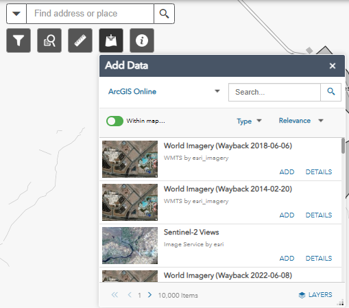
- Search for and add other layers of interest using the “Add Data” feature.
Data Sources
The tool integrates publicly available data from the following sources:
- The California Public Utilities Commission (CPUC)
- State Water Resources Control Board
- US Census Bureau
- Office of Environmental Health Hazard Assessment (OEHHA)
Please note: Users should familiarize themselves with the datasets and verify their limitations with their respective sources before conducting more detailed analyses.
Explore the Tool
- Explore the water system proximity tool for further understanding of the water acquisition landscape in California here: https://capuc.maps.arcgis.com/apps/webappviewer/index.html?id=4e07dfa753314f6b8d05310fb9363bec.
- Written instructions for using the tool can be found here: https://capuc.maps.arcgis.com/home/item.html?id=4e07dfa753314f6b8d05310fb9363bec.
If you are interested in learning more about the background or operation of this tool, please email publicadvocatesoffice_press@cpuc.ca.gov to request a meeting.
[1] Safe and Affordable Funding for Equity and Resilience (SAFER)